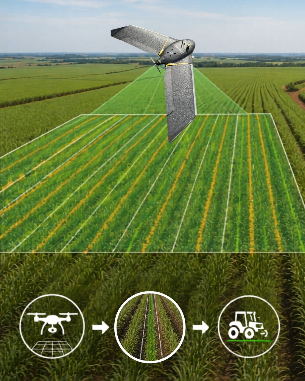
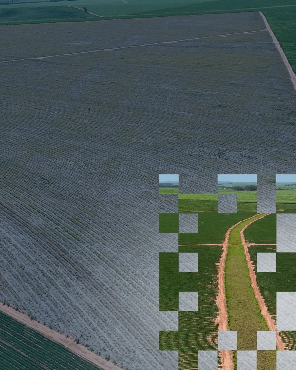
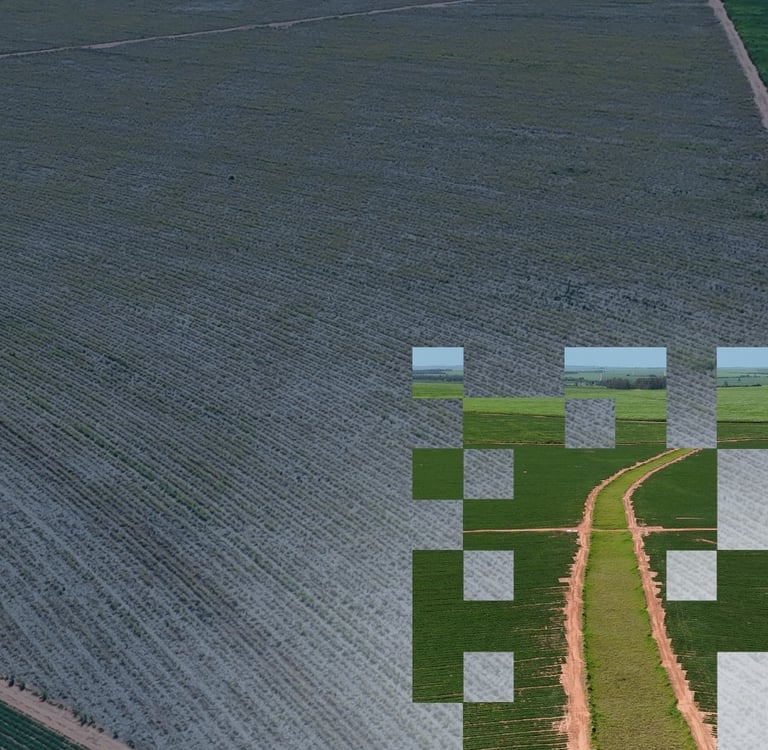
Aerolevantamento
Diagnostico da aérea utilizando VANT de alta precisão
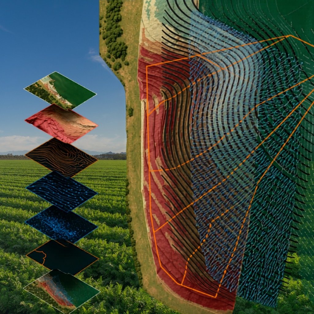
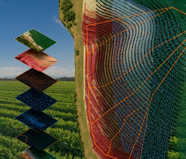
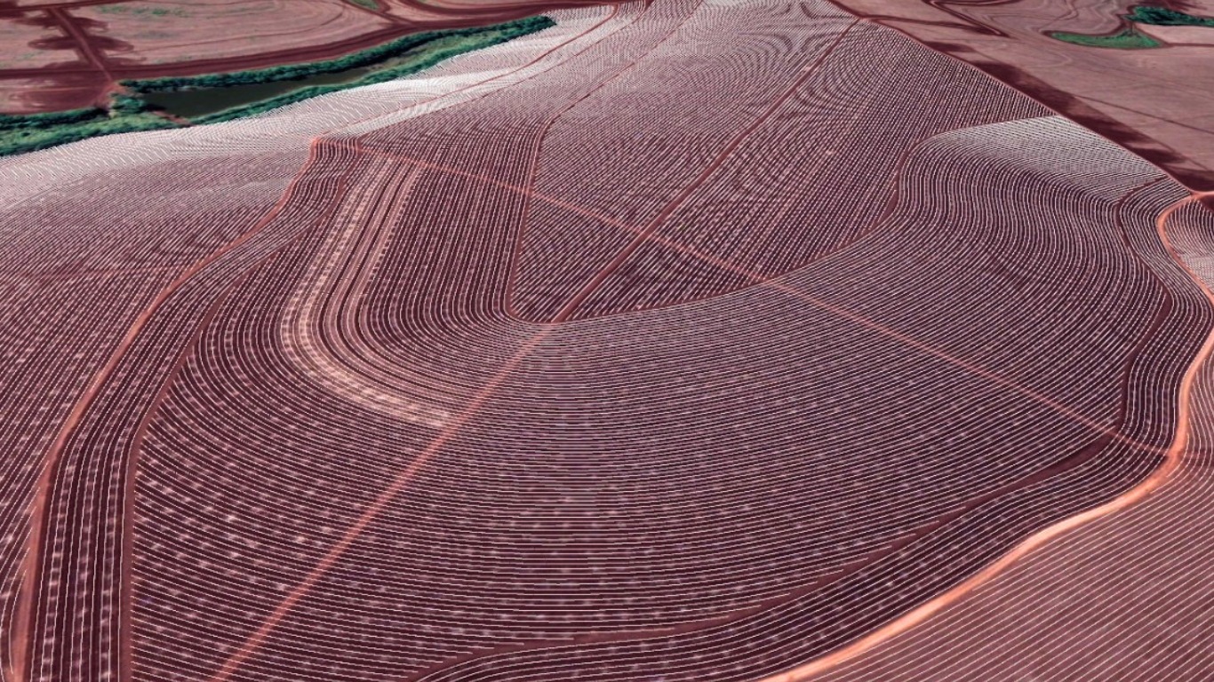
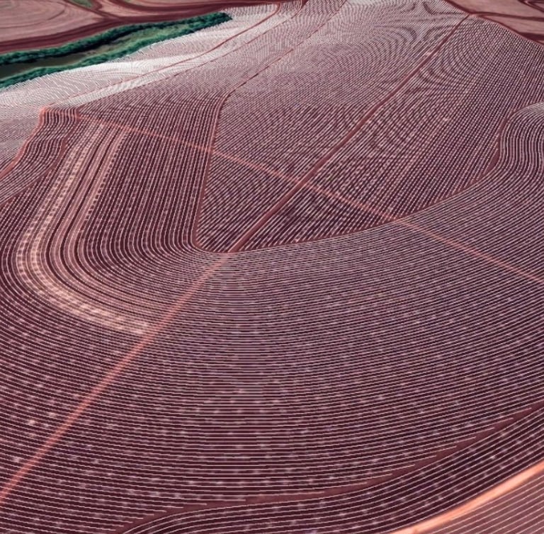
BASE DIGITAL CARTOGRÁFICA
Geração de mapas e modelos digitais de alta precisão por meio de levantamento planialtimétrico.
Essa solução oferece o alicerce para projetos agrícolas, planejamento operacional, sistematização de áreas, conservação do solo, acompanhamento de obras e tomada de decisão com base em dados reais e atuais.
O que contempla
Levantamento aéreo com VANT/Drone;
Mapeamento georreferenciado (Ortomosaico);
Delimitação precisa de áreas e talhões;
Microbacias;
Curvas de nível;
Escoamento Superficial;
Classes de Declividade do Terreno.
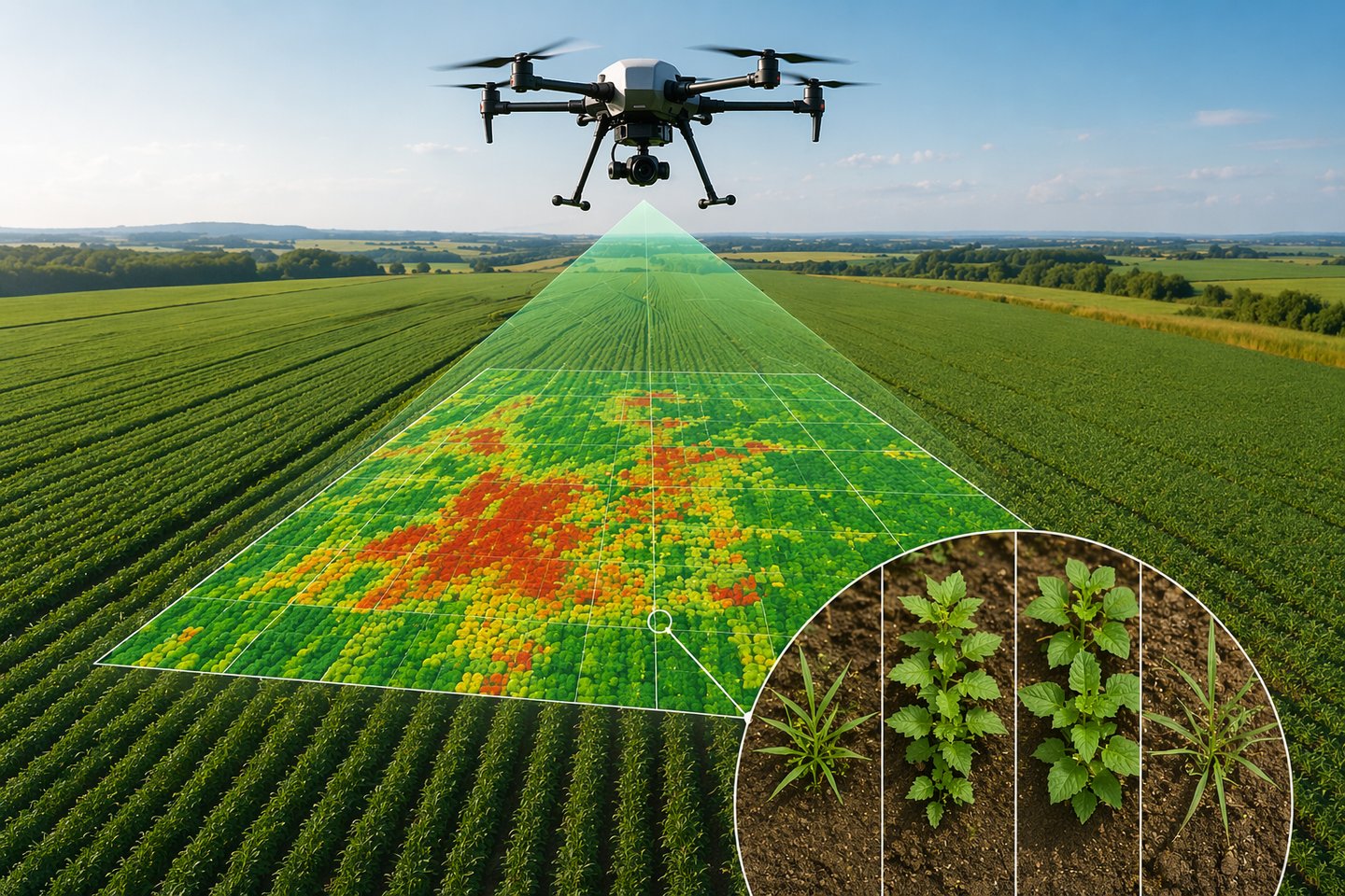
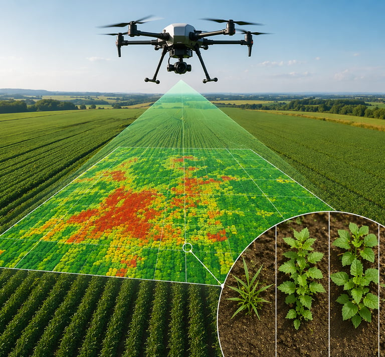
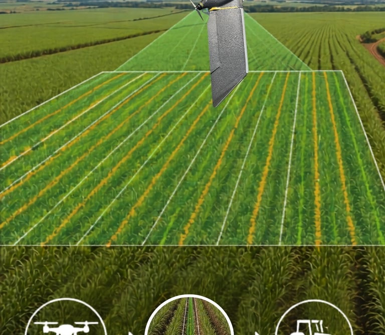
Mapeamento e diagnóstico preciso da ocorrência de plantas daninhas na lavoura, utilizando imagens de alta resolução e análise técnica da área.
Por meio do levantamento aéreo e processamento dos dados, é possível localizar focos, avaliar a distribuição espacial e identificar áreas com maior incidência de infestação, fornecendo informações estratégicas para o manejo localizado e a tomada de decisão no campo.
Essa solução contribui para um controle mais eficiente, reduzindo perdas de produtividade e otimizando o uso de herbicidas e operações de pulverização.
O que contempla
Levantamento aéreo com VANT/Drone;
Mapeamento georreferenciado das áreas infestadas;
Identificação de focos e distribuição das daninhas;
Geração de mapa e projeto de aplicação para manejo localizado.
IDENTIFICAÇÃO DE DANINHAS
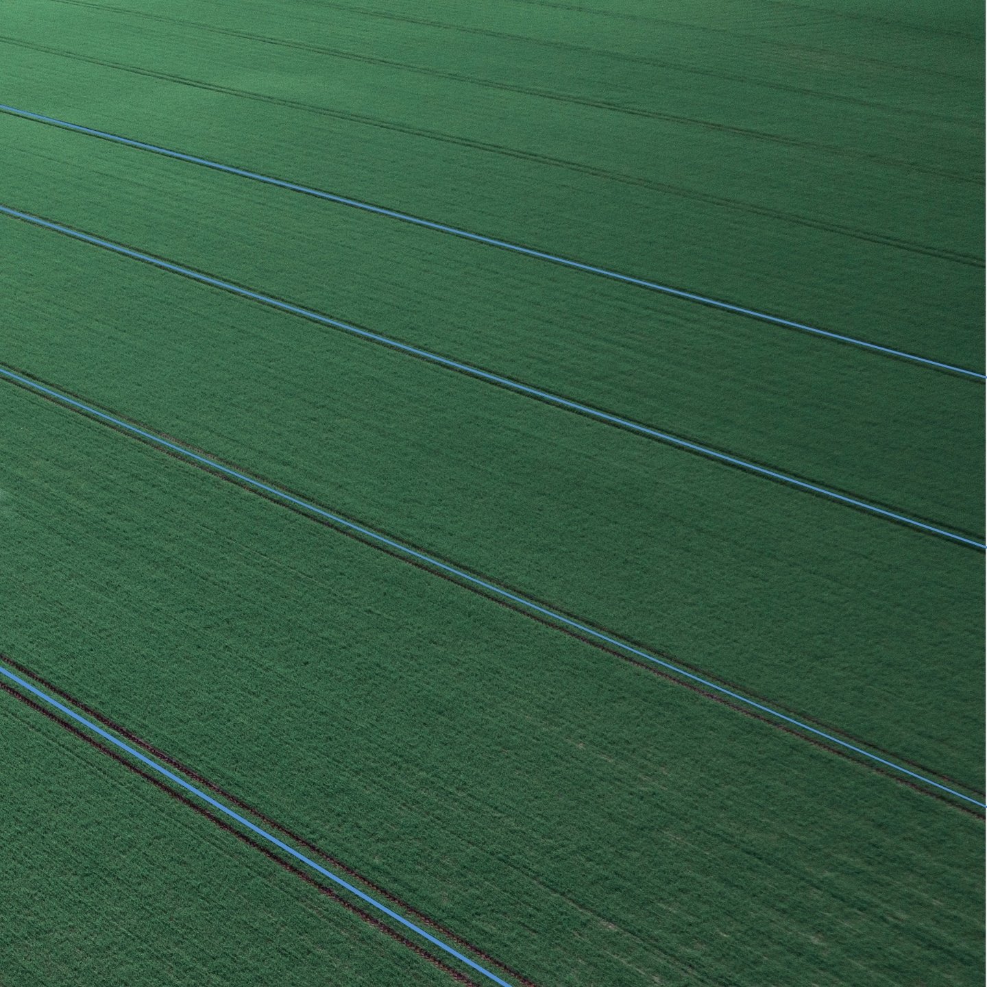
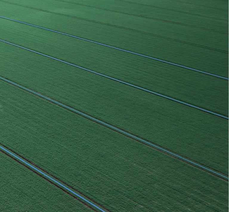
RESTITUIÇÃO DE LINHAS
Reconstrução digital e georreferenciada das linhas originais da lavoura, permitindo que a colheita seja realizada com o piloto automático.
Utilizando levantamento por VANT/Drone, dados topográficos e processamento de imagens, nosso serviço identifica o direcionamento real do plantio e gera linhas orientadoras compatíveis com os sistemas de navegação das máquinas agrícolas.
Essa solução garante maior precisão na condução da colhedora, reduzindo perdas, amassamentos e falhas operacionais, além de proporcionar mais conforto e segurança ao operador.
O que contempla
Levantamento aéreo com VANT/Drone;
Identificação do alinhamento do plantio;
Geração de linhas digitais georreferenciadas;
Projeto de linhas para colheita;
Suporte para importação nas máquinas.
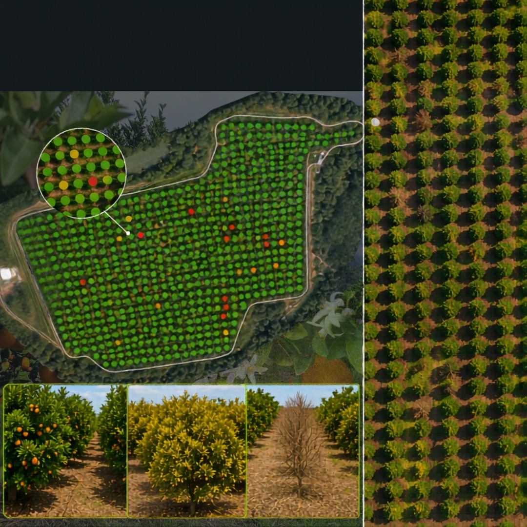
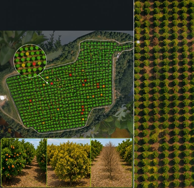
CONTAGEM DE PLANTAS E FALHAS
Levantamento preciso da população de plantas e identificação georreferenciada de falhas no plantio, utilizando imagens de alta resolução obtidas com VANT/Drone.
Muito aplicado em culturas perenes, o serviço permite quantificar o número de plantas por área, avaliar a uniformidade do stand e localizar pontos com ausência, mortalidade ou desenvolvimento irregular.
Com essas informações, é possível tomar decisões mais assertivas sobre replantio, manejo e acompanhamento do desenvolvimento da cultura, reduzindo custos com inspeções manuais.
O que contempla
Levantamento aéreo com VANT/Drone;
Mapeamento georreferenciado (Ortomosaico);
Contagem precisa de plantas;
Identificação de falhas e mortalidade;
Relatório técnico;
Indicadores de uniformidade do stand (Real vs. Ideal),
Projetos Agrícolas
Planejamento agrícola personalizado com base em análise técnica
PROJETO DE LINHAS
Otimize o direcionamento nas operações agrícolas, considerando a topografia e as características de cada área.
A solução proporciona maior precisão, redução de sobreposições, melhor aproveitamento do talhão e mais eficiência operacional no campo.
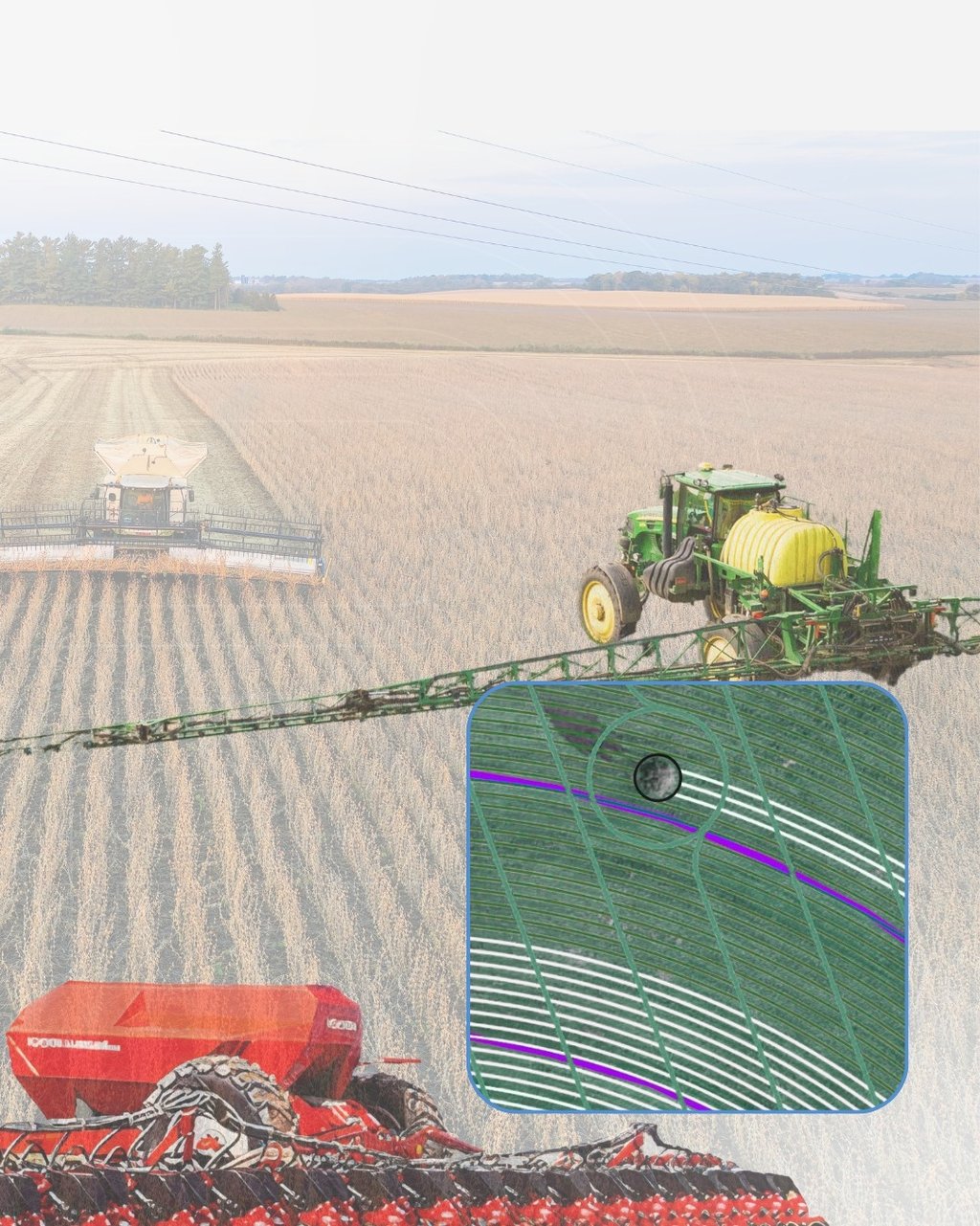
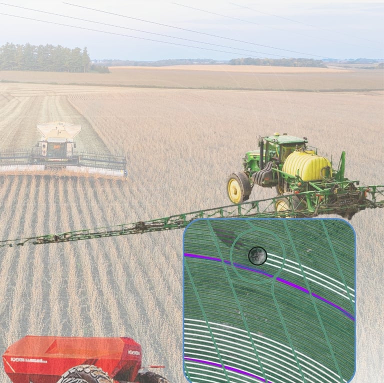
PROJETO DE LINHAS 3 EM 1
Planejamento das linhas de plantio da safra, safrinha e pulverização.
Nas linhas de plantio é realizado o corte automático e estratégico nas faixas de tráfego do pulverizador. E na pulverização planejamos as manobras de cabeceira automatizadas e desvio de obstáculos.
Este projeto é desenvolvido para definir o trajeto das máquinas, garantindo que toda a operação ocorra sobre o mesmo rastro previamente planejado.
Reduza falhas e sobreposições;
Reduza o gasto com sementes e adubo;
Reduza o amassamento de plantas;
Melhore a eficiência das operações;
Melhore o aproveitamento dos insumos;
Aumente a eficiência operacional e produtividade.
PROJETO DE CONSERVAÇÃO DO SOLO
Planejamento técnico do escoamento da água na lavoura, controlando o fluxo superficial de forma inteligente.
Utilizando dados topográficos e modelagem detalhada do terreno, desenvolvemos soluções que reduzem encharcamentos, erosões e perdas de solo, proporcionando melhores condições para o desenvolvimento da cultura e maior eficiência das operações mecanizadas.
Essa técnica promove um manejo inteligente da água, favorecendo a conservação do solo e garantindo melhor aproveitamento hídrico na lavoura.
Controle inteligente da enxurrada;
Plantio em desnível controlado;
Sem curvas, sem caixas secas, sem erosão, sem encharcamento;
Melhor distribuição e aproveitamento da água na lavoura;
Melhor trafegabilidade e eficiência operacional das máquinas;
Melhor aproveitamento produtivo da área.

PROJETO DE TERRACEAMENTO
Controle o escoamento superficial da água, minimizando processos erosivos e preservando a estrutura do solo.
A solução é elaborada conforme a topografia e as características da área, promovendo maior conservação, segurança operacional e sustentabilidade da produção agrícola.
SISTEMATIZAÇÃO DE ÁREA
Configuração e padronização dos talhões, definição de linhas operacionais, correção de desníveis, planejamento de terraços, carreadores e áreas de manobra, sempre de acordo com as características topográficas e as necessidades específicas da cultura.
Por meio da sistematização, é possível melhorar significativamente a logística das operações, reduzir perdas por sobreposição, minimizar áreas improdutivas e aumentar a eficiência no uso das máquinas.
Melhor aproveitamento da área produtiva;
Otimização do fluxo operacional das máquinas;
Redução de falhas, amassamentos e sobreposições;
Maior eficiência no plantio, pulverização e colheita;
Redução de custos operacionais;
Aumento da produtividade e rentabilidade.

PROTOCOLO PRECISION PEANUTS
Consultoria especializada para produtores de amendoim.
Vantagens:
Conhecimento real da área;
Planejamento preciso de insumos;
Melhor aproveitamento do talhão;
Mais linhas produtivas por área;
Maior autonomia operacional;
Ganho de tempo e rendimento;
Redução de fadiga do operador;
Menor consumo de combustível;
Redução em desgaste de componentes;
Aumento de produtividade;
Redução de perdas no arranquio;
Menor índice de embuchamento;
Menos pisoteio no recolhimento;
Análise pós-safra para tomada de decisão.